Menu
Home
Our Location
Packages
UP Bikers
Mackinac Island Packages
Pond Hockey Packages
Events
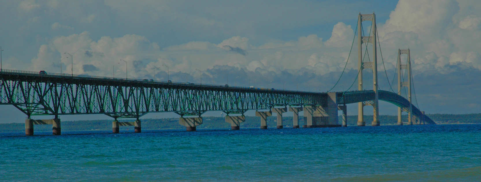
Mackinac Bridge Walk
Car and Truck Show
Antique Tractor Parade
Pet Friendly Hotel
Photo Gallery
Contact Us
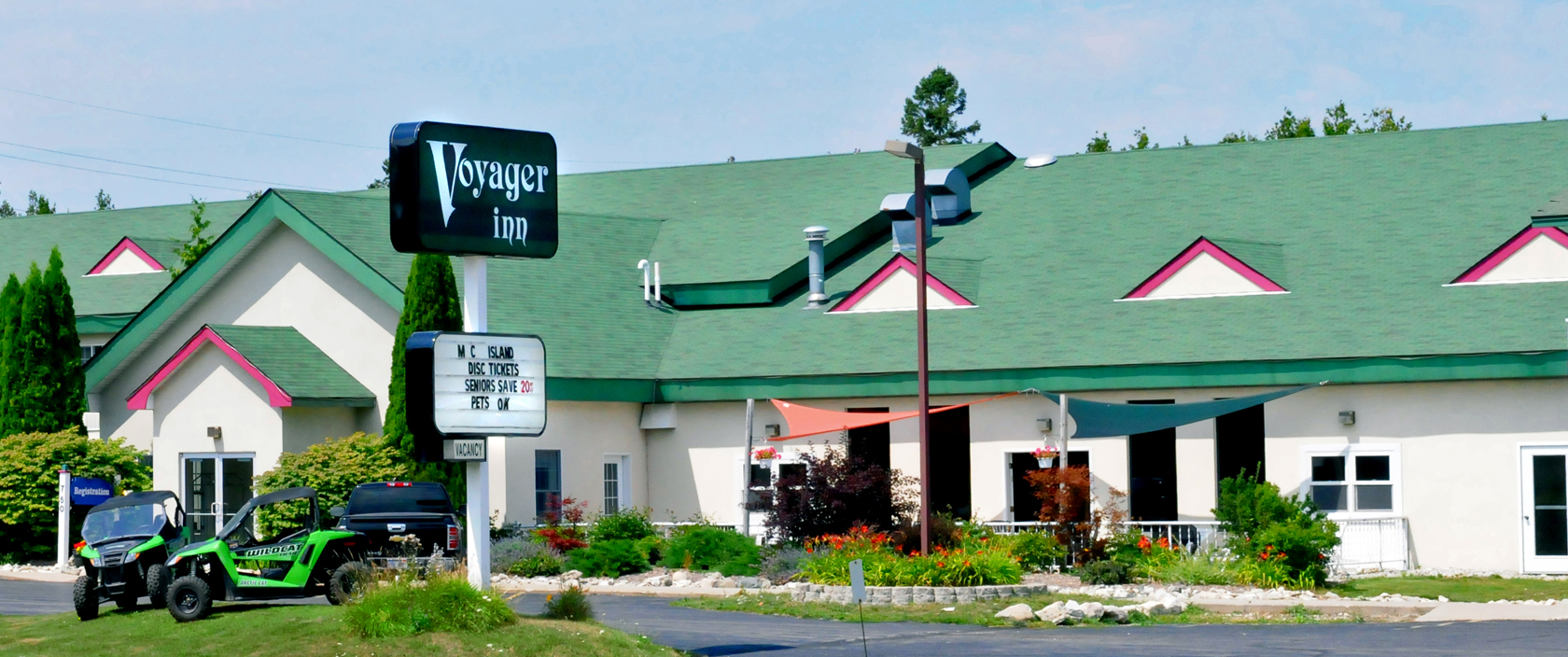
Accommodations
Reservations
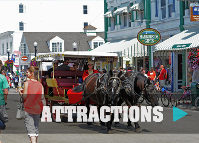
Attractions
Live Web Cam
Home
Our Location
Packages
UP Bikers
Mackinac Island Packages
Pond Hockey Packages
Events
Mackinac Bridge Walk
Car and Truck Show
Antique Tractor Parade
Pet Friendly Hotel
Photo Gallery
Contact Us
ACCOMMODATIONS
RESERVATIONS
ATTRACTIONS
WEB CAM
Let's Connect
(906) 643-1530
Sorry. This page was not found.